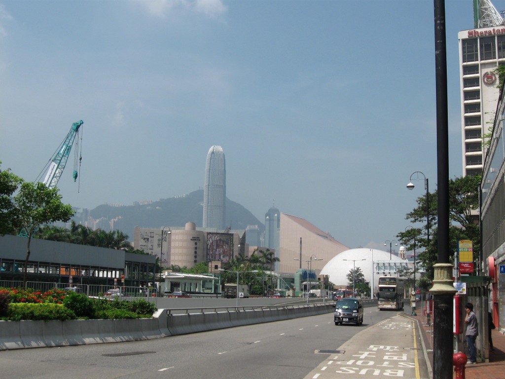
Summer in Hong Kong, walking down the tropical streets sweating and burning, heading for the Cultural Center from Mody Road. I have a pretty good sense of memory-for-direction, and I know where we’re going, but there’s not a lot of information to be had… and there are surprsingly few people about…

i can see it from here! by the way, where is everybody?
Then there’s a sign that says “subway” and my tourist experience clicks into a thought—that term doesn’t have to mean trains or sandwiches (like in the U.S.), but can also refer to a path beneath the street… and this changes everything.
Steps down and we find… People! Directions! A.C.! Moving Walkways! So this is where everybody’s been hiding! Ample signs point us towards our surface destination, yet the tunnels also lead us past shops, vendors, malls, businesses, hotels, residences, etc., as well as past multiple stations for the underground train (MTR) or walking paths, boats, ferries, surface trains, elevators, escalators and cable cars! Overwhelmed at first, it takes me the rest of the visit to realize what I’ve encountered… Rhizomes—with a vengeance! In other words, these pathways are not simply underground connections to trains (like in London) but rather offshoots of/to/from/within a subterrene culture that is distinct from that aboveground.
In A Thousand Plateaus Deleuze and Guattari posit the rhizome as a non-hierarchical means of collecting and processing data, as well as fostering creative thought. My experience in Hong Kong ties in with the principles laid out in Introduction from that book…
1) Connection – Yes, paths between places—indeed, that’s the function
2) Heterogeneity – Yes, a diversity in character and in content
3) Multiplicity – Yes, through this can be tough to grasp, as the individual is not an addition to the multiple, but rather a subtraction from it—the individual is lesser than the multiple… So my experience on the surface before finding the subway proves this point all too well…
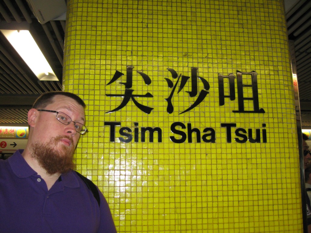
4) Asignifying Rupture – Yes, and this was something that I realized only progressively. Over the course of our trip, and without any intention whatsoever of doing so, we went from Tsim Sha Tsui to the Cultural Center in three completely different ways, i.e., several paths exist between the same starting and ending points—and I’m confident there are at least a couple more that we didn’t get to try. This is important; imagine if one tunnel was under repair, it would still be possible to find multiple ways to get to and from the same places!

been there, rode that
5) Cartography – Well, here it gets sticky. Yes, there are maps of the MTR, and some of the linking tunnels between stations. Yes, the malls have store guides, etc. But there is no one map of all the possible paths, all of the connections, all of the lines of flight (well, there probably has to be one somewhere, in the city planning office, or in the emergency response center, right?). I think, for the average person, that such a map would be unreadable, or unpresentable—perhaps as a series of transparent overlays. I asked my uncle-in-law if he’d ever heard of such a thing, and the look on his face suggested that by even asking such a question was to peer over the sheer brink of lunacy itself. However, I think that the average HK citizen knows a bunch of these subconsciously or can find them quasi-instinctively. My wife’s cousin was to meet us for some coffee, and approached our meeting spot in a way we hadn’t even considered, and then when we returned to the same point later, it was by yet another path, but he never seemed lost or confused, only certain we’d arrive at or destination…
6) Decalcomania – Without a map this is _______, but generally as a model such an approach can be applied to conditions in other locations. Indeed, think of the Mole People in NYC. The current-use subway system for that city is pretty extensive, but mainly these are well-mapped in regards to the set routes of the train and folks who need to swtich lines, but within these parameters there is no need for deviation or fluctuating options for walking traffic, though there is a navigation contest of sorts. In Boston, the Downtown Crossing//Park Street tangle is a smaller-scale rhizome, which can be confusing for those who do not commute there daily. Or consider the speculation on indigenous use of caverns in the US to keep cool and provide connection, though we’re not currently certain of the extent of use and inter-cavern travel.
Part of the reason for these rhizomes is the climate—a hustle-and-bustle society situated in the tropical zone needs cool routes to keep people comfortable, and to connect them to shops and business. I might add on a personal note that connecting travelers to tourist locations quickly and comfortably was a plus, though the conspiracy theorist in me wonders if such multiplicity of connection is meant to lead inexperienced consumers by as many different shops as possible. In fact, I tried to go the above mentioned route to the Cultural Center the same way each time, but I was unsuccessful. Would such a rhizomatic construction work in the US? Are modern-day Americans to used to the supremacy of the Interstate Highway? Is it another facet of the rift in the urban/rural divide? Are we just easily confused or unaccustomed? Does such an approach reflect a distinct approach to culture, where in HK the individual is lesser than the multiple but in the US we believe the reverse? Nah…

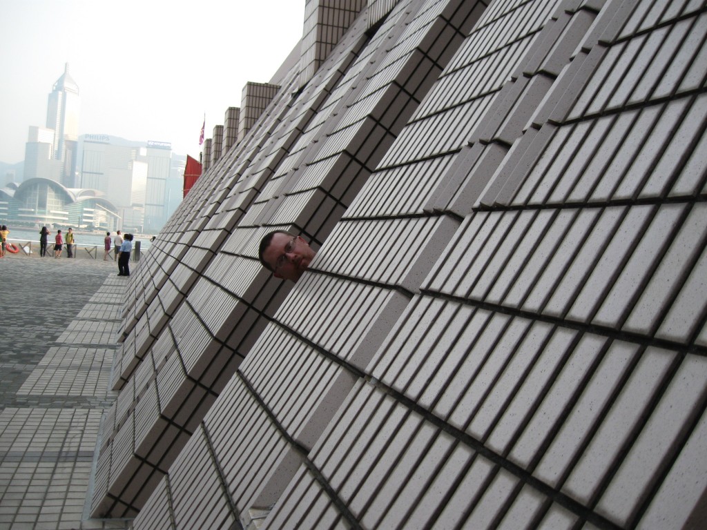
subtract this from the multiple, jackass!
With places of work and living all inter-connected, I wonder if the full-time residents ever really need to peak about up top. Regardless, I’m pretty sure one could visit HK without ever visiting the surface—in fact that’s the goal for my next visit!


